
SAFETY PRECAUTIONSPersonal Protective Equipment (PPE)
Safety precautions when entering a burning peatland Use the "step and stab" approach. Do not simply walk into a burning peatland. The ground may be burning or unstable (with burned out cavities underfoot) and could collapse, with major risk of burns. Burning peat is warm or hot to the touch. A steel rod can be inserted into the peat to determine if there is a fire far beneath the surface, and at what depth. Insert the rod, and withdraw it to carefully feel its temperature. If there is an active peat fire, the rod will come out hot to the touch. In that case, it is not safe to step directly onto the peatland. instead, use metal sheets/farm gates/palettes to distribute your weight and protect against collapse. Continue to use the rod to probe the ground as you move- repeat the measurement with each step- "step and stab." It’s a quick and easy motion that takes just a second but is essential for ensuring safety. Determine the burn edge in the peatland The burn edge in the peatland needs to be determined in order to make strategic and efficient use of resources, fighting the fire where it is currently burning. But it also allows safe and unsafe zones to be demarcated and is useful for monitoring fire-fighting progress. Use a grid-approach to assess the peatland, marking out zones as the peatland is traversed. There are two possible ways to determiner he burn edge: Direct: Use the step and stab approach described above to carefully map out the edge of the fire in the peatland Indirect: Drone with a mounted thermal camera can be used to detect subsurface burning up to ~0.5m (but beware of errors). A peatland expert can be called upon to assist with determining peatland depth and the depth of the fire. Contact: ARC-NRE Soil Science: Dr Jason Le Roux (LeRouxJ@arc.agric.za) for advice. Assessment and reconnaissance Once the burn edge has been identified, assess the extent of the fire and locate hotspots. Clearly mark the fire perimeter using metal droppers/poles and danger tape at the start of operations and update these markings daily (each morning). Markings should indicate:
This may also be mapped in a geographic information system (GIS). 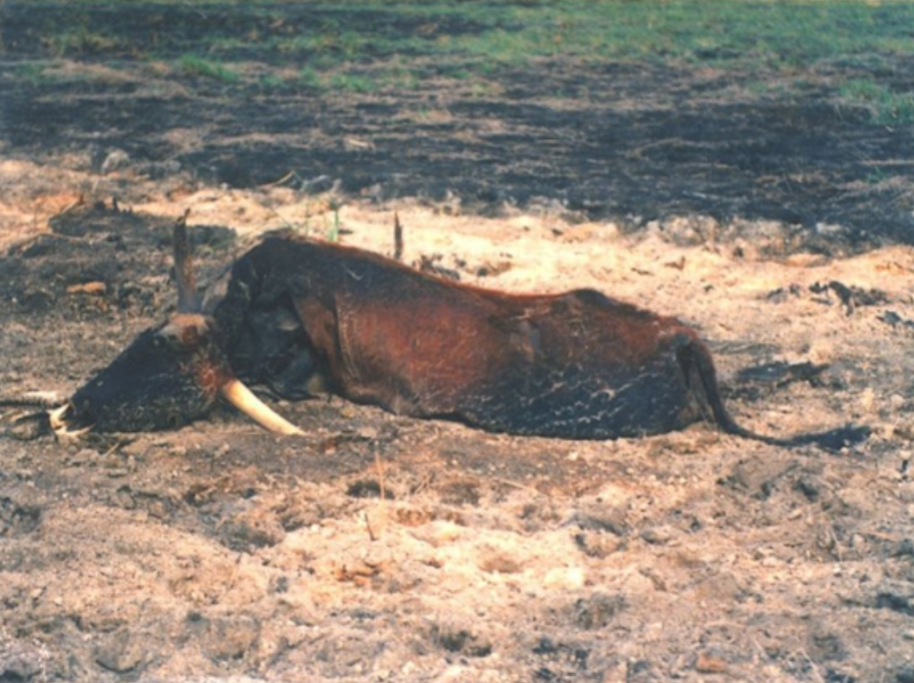 A photo of a cow that became entrapped in a burning peatland in Vazi Peatland and could not escape. Taking safety precautions when entering a burning peatland is critically important (Photograph by Piet-Louis Grundling) |